
Science of Machine Learning
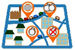
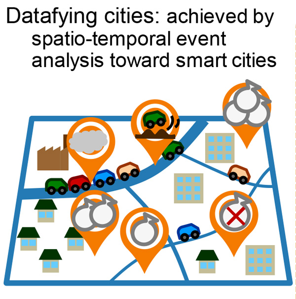
Datafying cities
Event analysis by environmental sensing and machine learning
Abstract
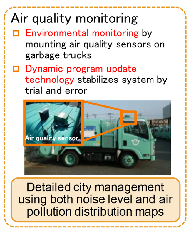
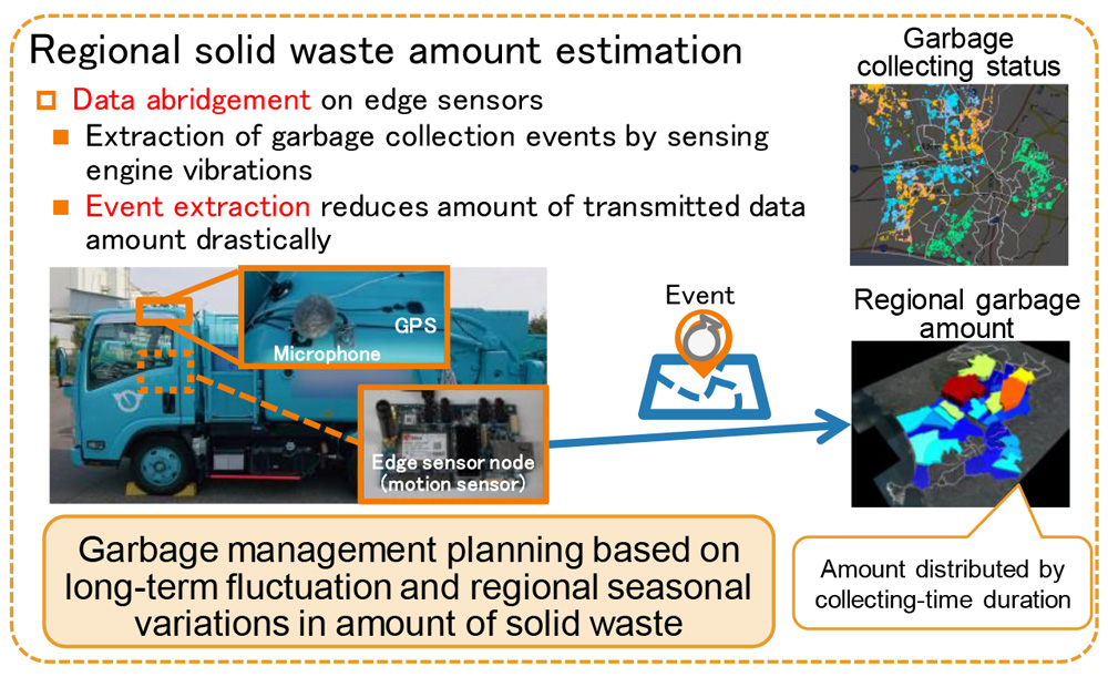
We investigated datafication of spatio-temporal city-wide events. We addressed environmental sensing mounted on such public vehicles as garbage tucks. By using the sensor data, we can extract city events and analyze them.
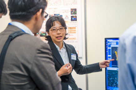
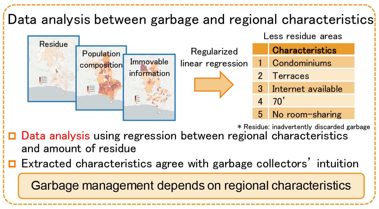
To achieve stable environmental sensing, we implemented dynamic programing technology that enables us to change system behaviors based on actual environments. We also developed reduction technology to reduce communication cost from sensors and processing costs on servers. Moreover, we also investigated integrated analysis of heterogeneous data. The analyzed result supports intuitions of city officials. By collecting and analyzing city-events with our proposed technology, more efficient city management and urban planning based on detailed prediction are possible. In this demonstration, we introduce our six years of research and field trials in Fujisawa city.
- A part of this research was supported by National Institute of Information and Communications Technology (NICT).
- This map is based on GSI Tiles published by Geospatial Information Authority of Japan. Source of city block segmentation data is e-Stat by Statistics Bureau of Japan.
- This map is based on GSI Tiles published by Geospatial Information Authority of Japan. Source of city block segmentation data is e-Stat by Statistics Bureau of Japan.
Reference
- [1] Yasue Kishino, Koh Takeuchi, Yoshinari Shirai, Futoshi Naya, and Naonori Ueda, “Datafying city: Detecting and accumulating spatio-temporal events by vehicle-mounted sensors,” in Proc. of IEEE BigData, International Workshops on Smart Cities: People, Technology and Data (IWSC’17), 2017.